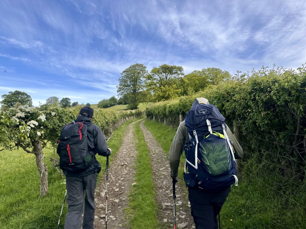
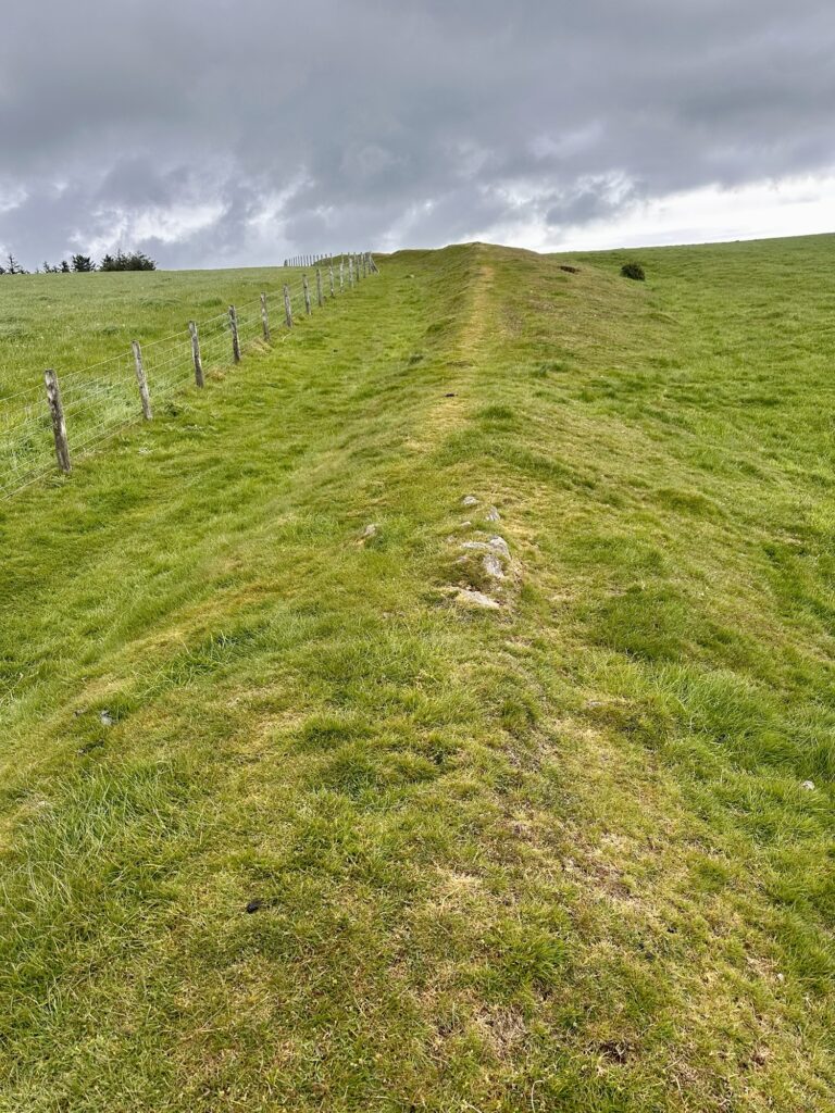
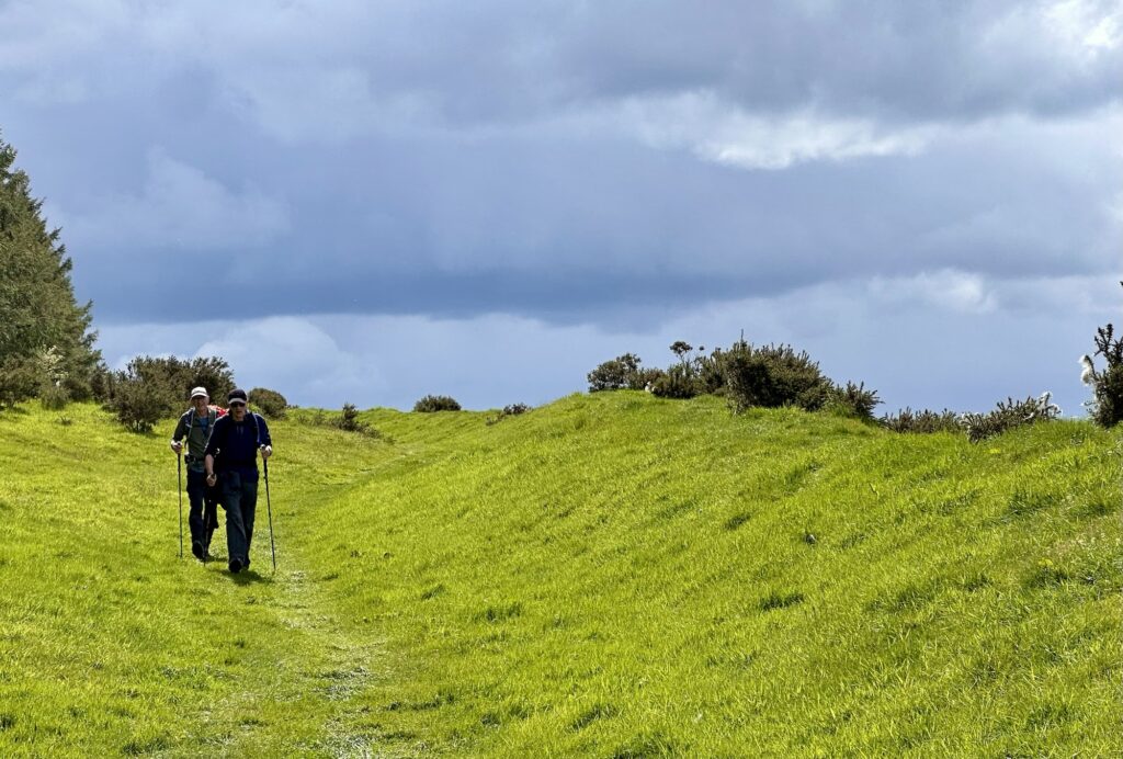
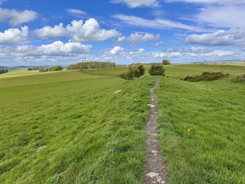
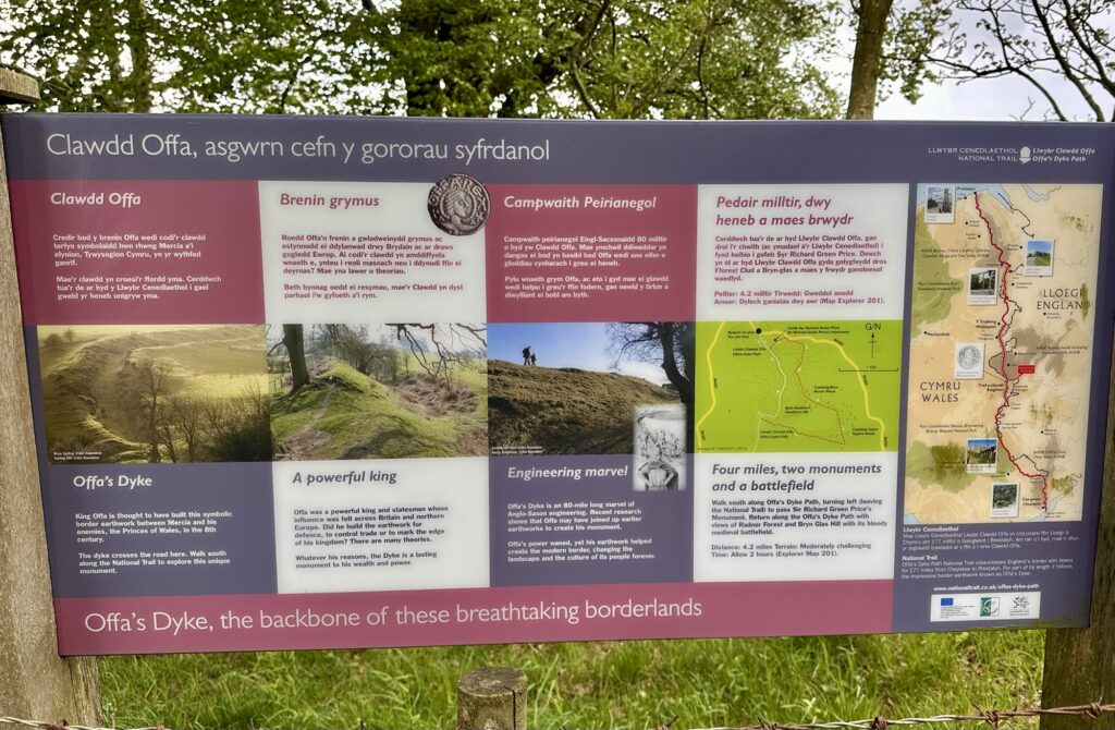
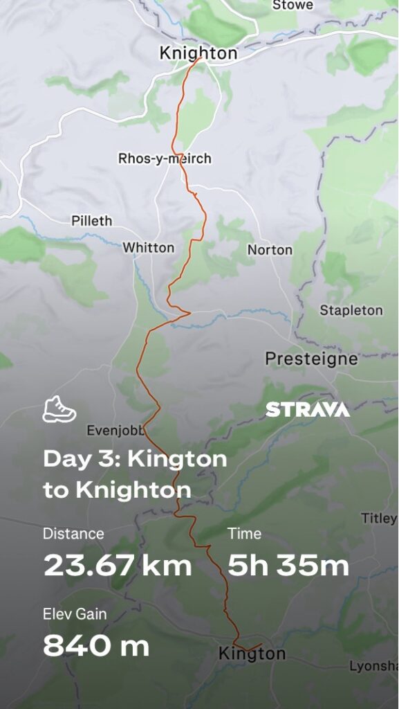
The walk from Kington to Knighton is considered one of the classic upland sections of the Offa’s Dyke Path. It is a 22km route through remote border country, with long stretches actually following the ancient dyke itself.
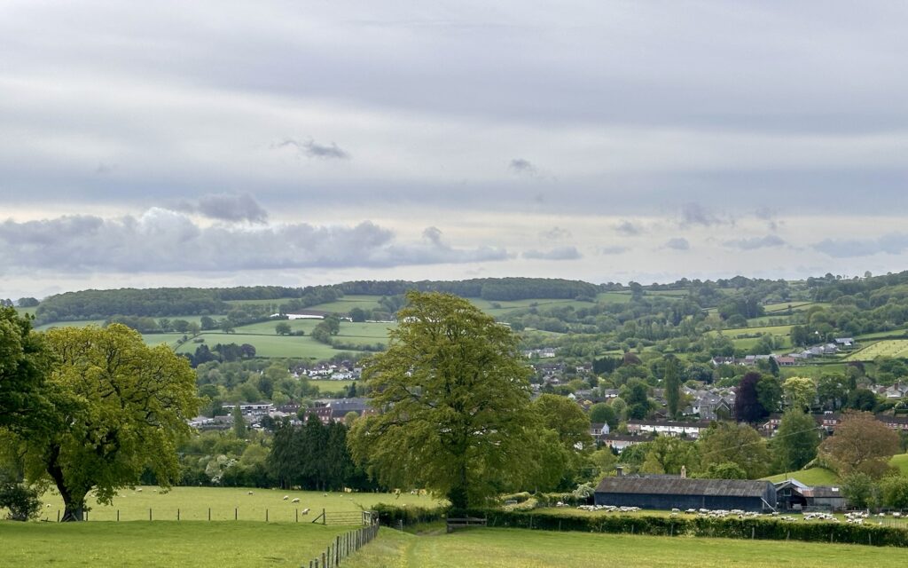
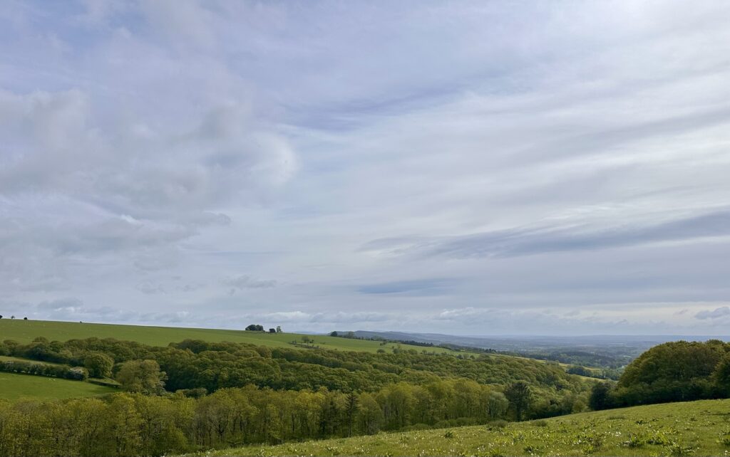
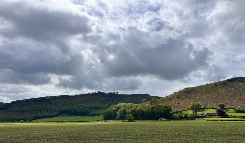
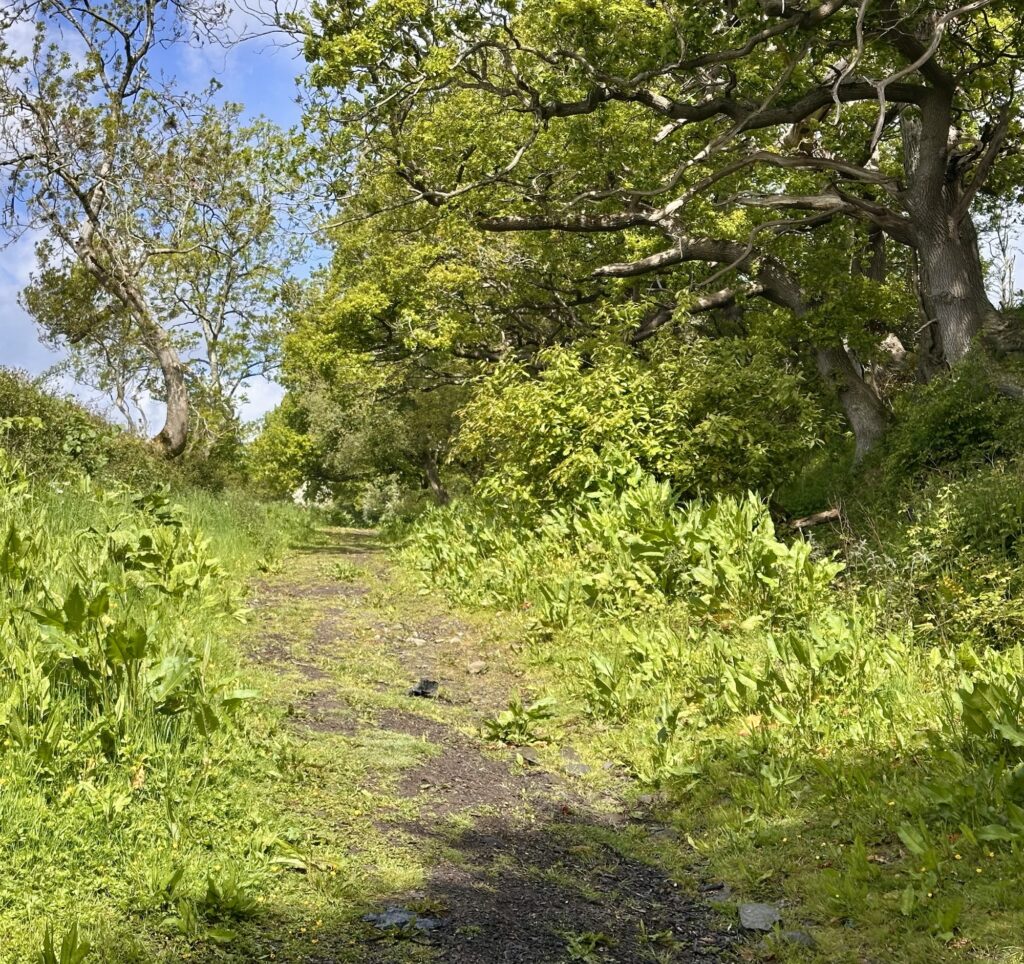
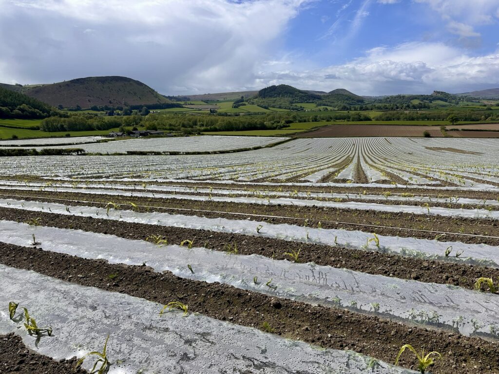
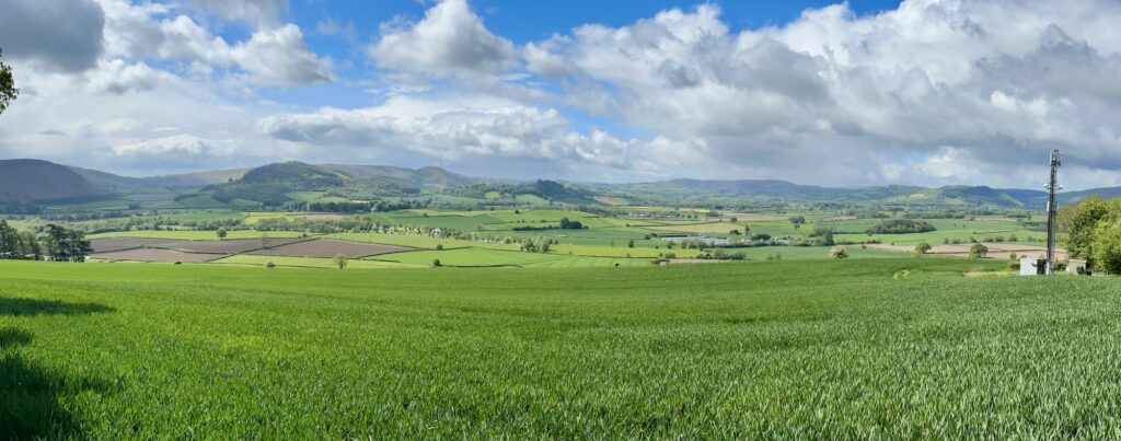
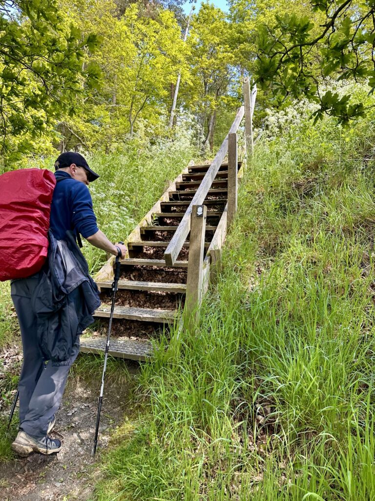
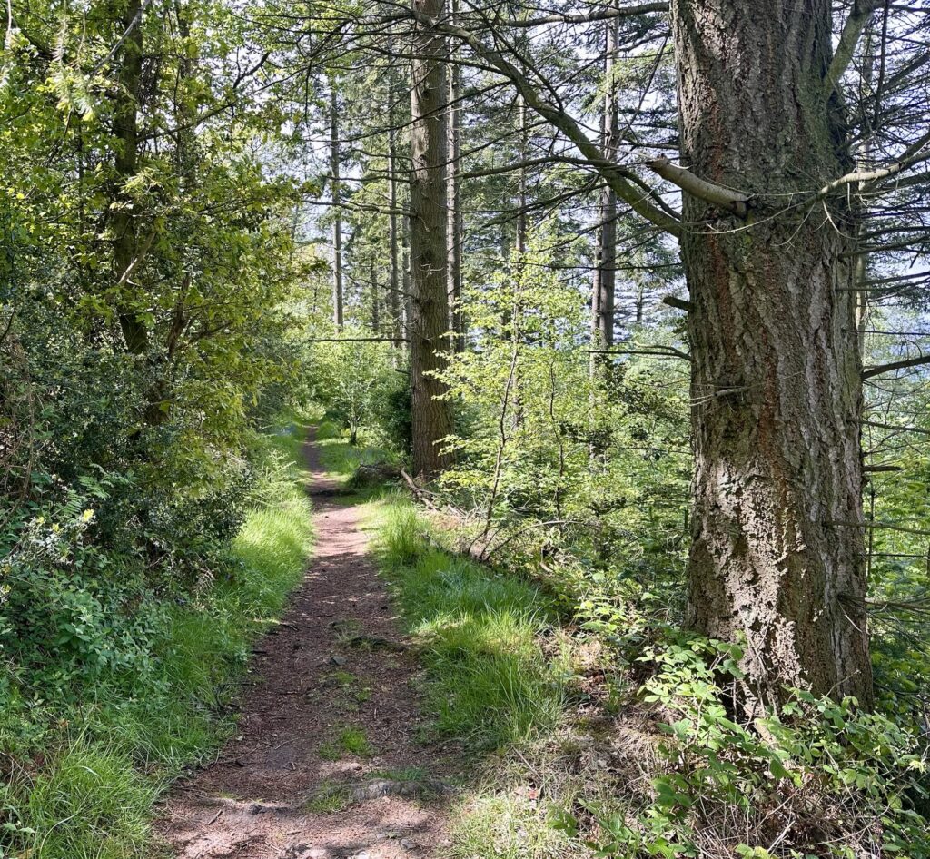
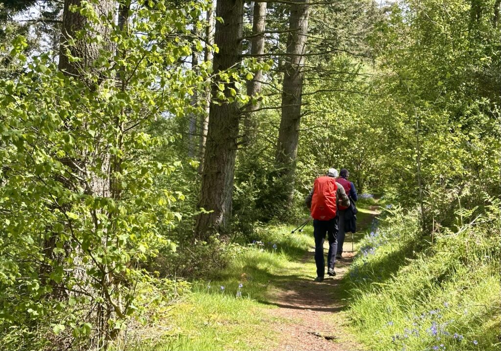
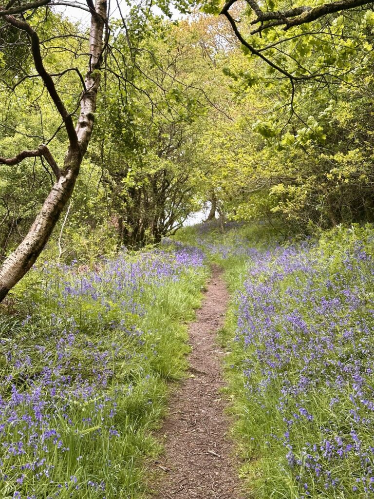
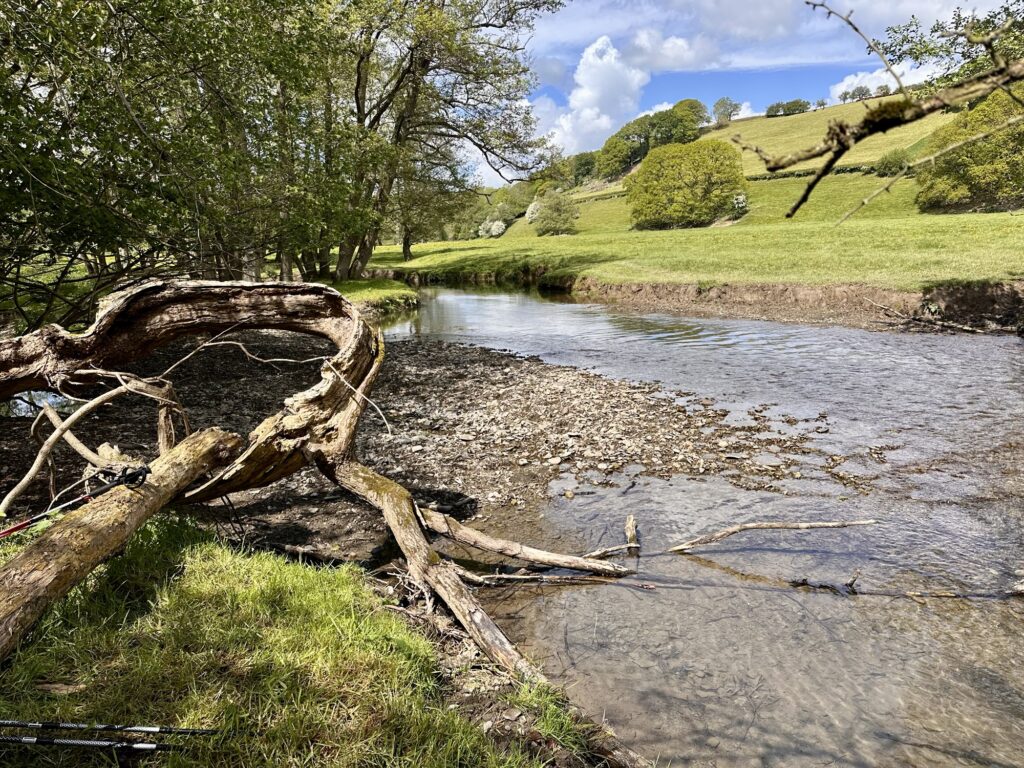
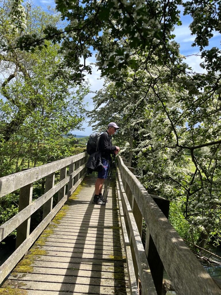
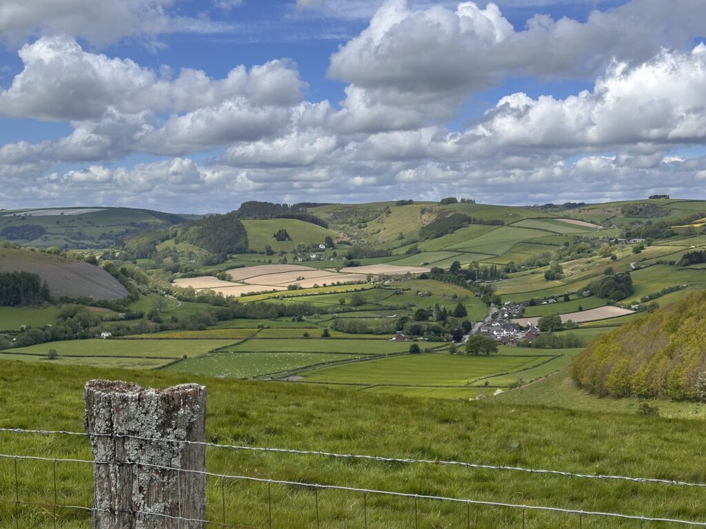
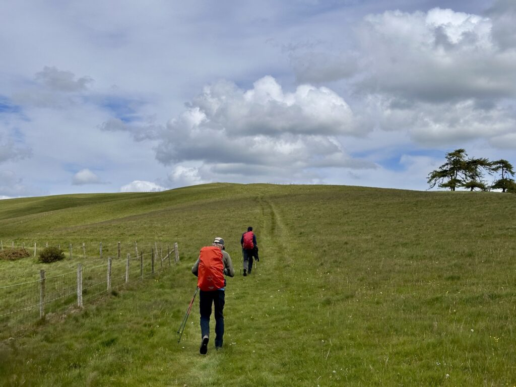
After climbing steadily out of Kington over Bradnor Hill and past the highest golf course in England, I don’t know about highest but it was certainly very hilly. The route follows open hills, quiet farmland and wooded sections, with sweeping views across Herefordshire and Powys. The trail crosses the River Lugg at Dolley Old Bridge, where we stopped for lunch. Just before we arrived there, we met a woman who was walking all the way to John O’Groats and camping the entire route.
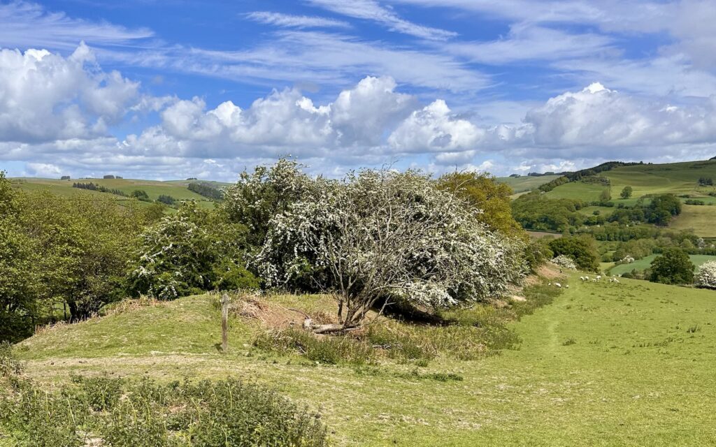
After lunch, we climbed Hawthorn Hill, where the scenery became increasingly wild and expansive. The day finished with a steep descent into the border town of Knighton, often regarded as the spiritual home of Offa’s Dyke, with the Offa’s Dyke Centre marking roughly the halfway point of the entire National Trail.
The weather was much the same as yesterday, with us repeatedly putting our rain gear on and taking it off again. We arrived in Knighton just as the rain started at about 3pm, and then it absolutely chucked it down for the next two hours.
We were staying in a very nice Airbnb called Paradise Cottage. We picked up some sandwiches and breakfast supplies from the Co-op, then showered and changed before heading out to the Horse and Jockey for a few beers and dinner.
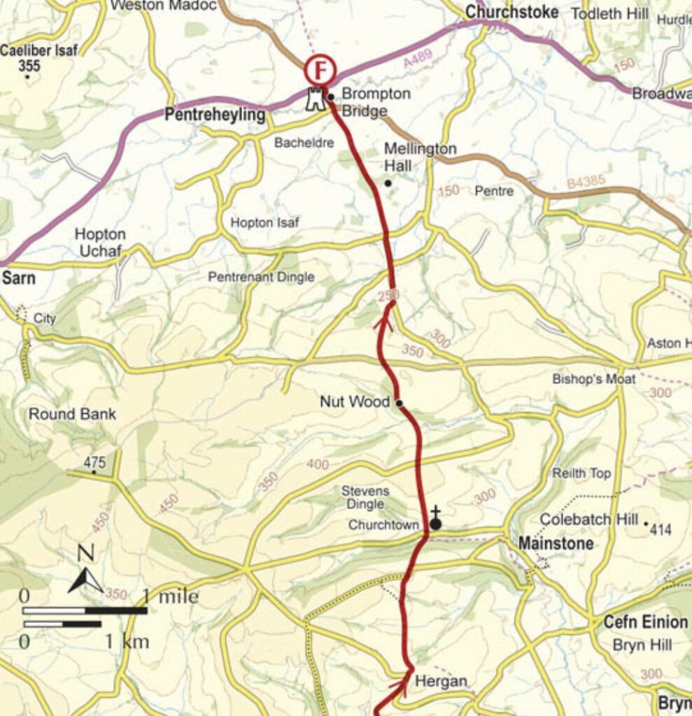
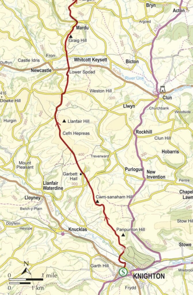
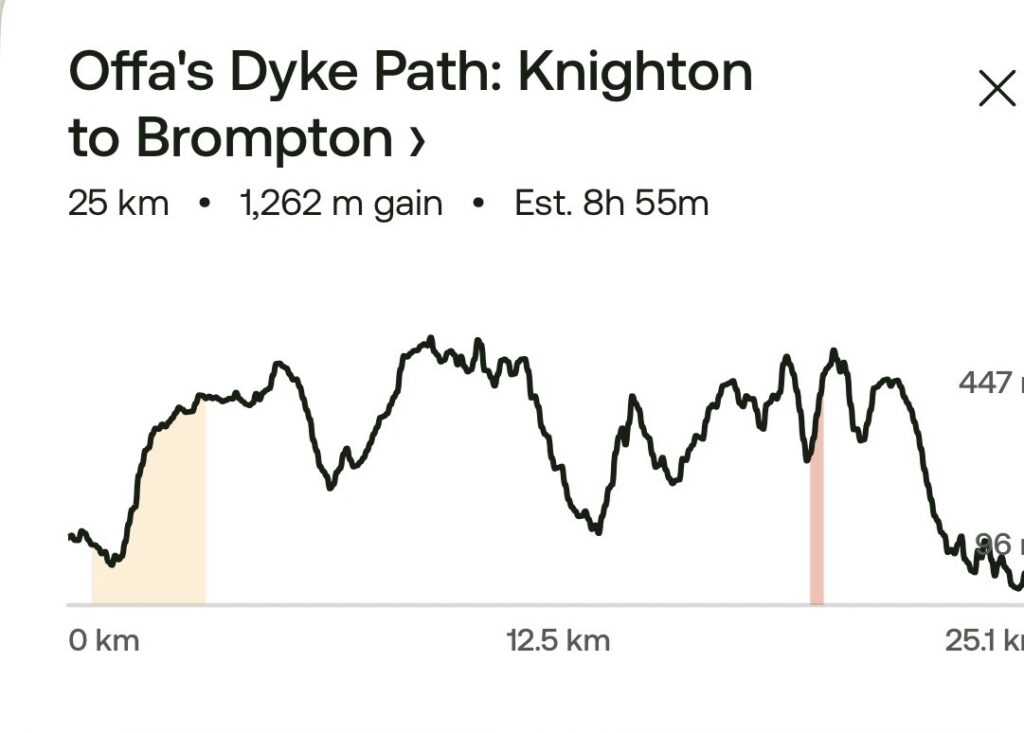
Tomorrow’s stage is to Brompton Crossroads, but there is no accommodation nearby, so we will either get a taxi from there and return the next day, or walk the additional four miles to Montgomery. Three of those miles would form part of the following day’s hike, with only a one-mile detour off the trail into Montgomery. We will decide nearer the time