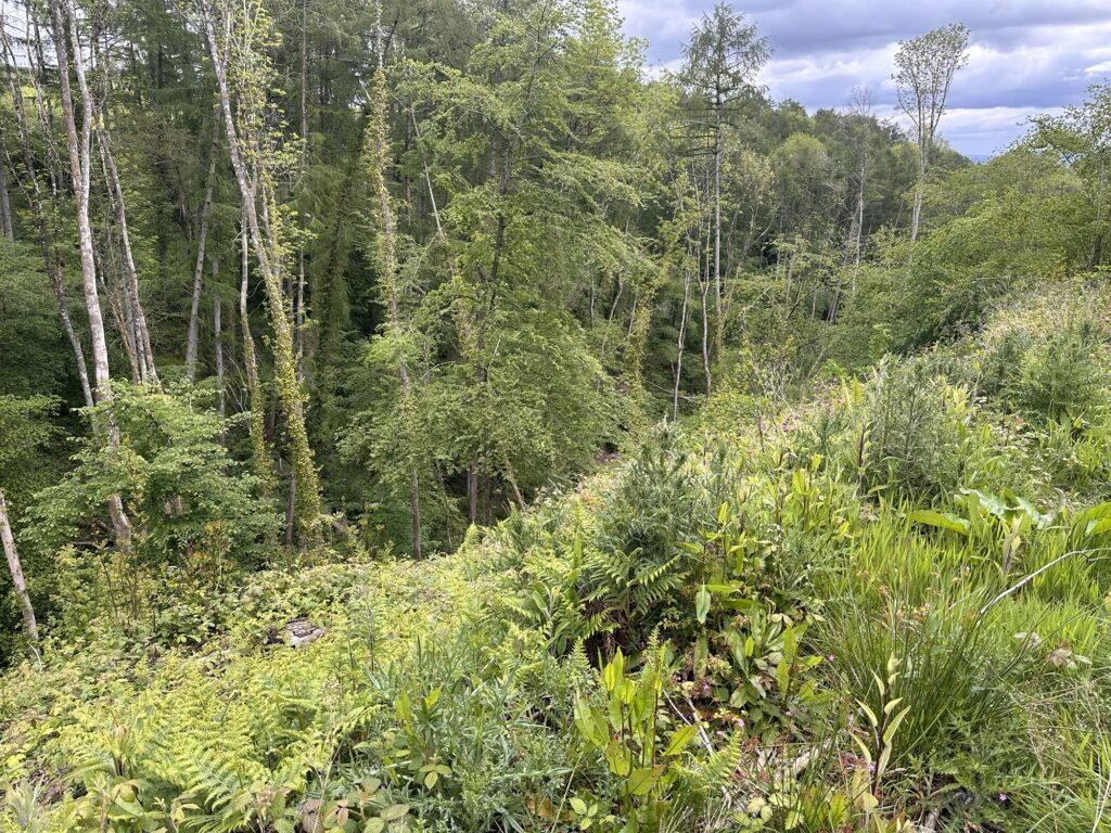
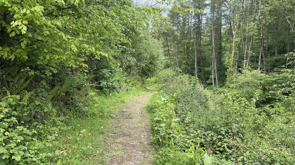
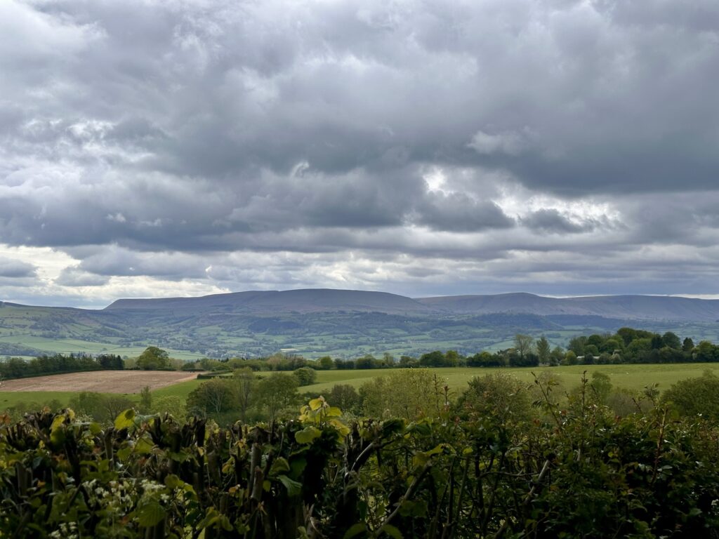
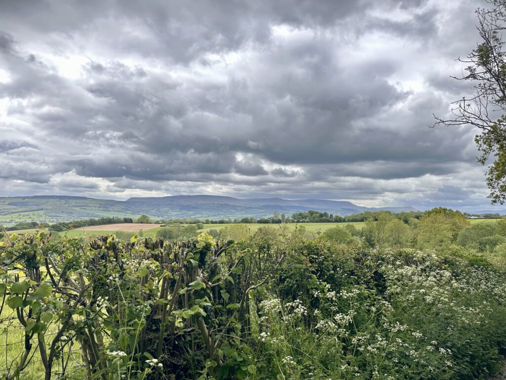
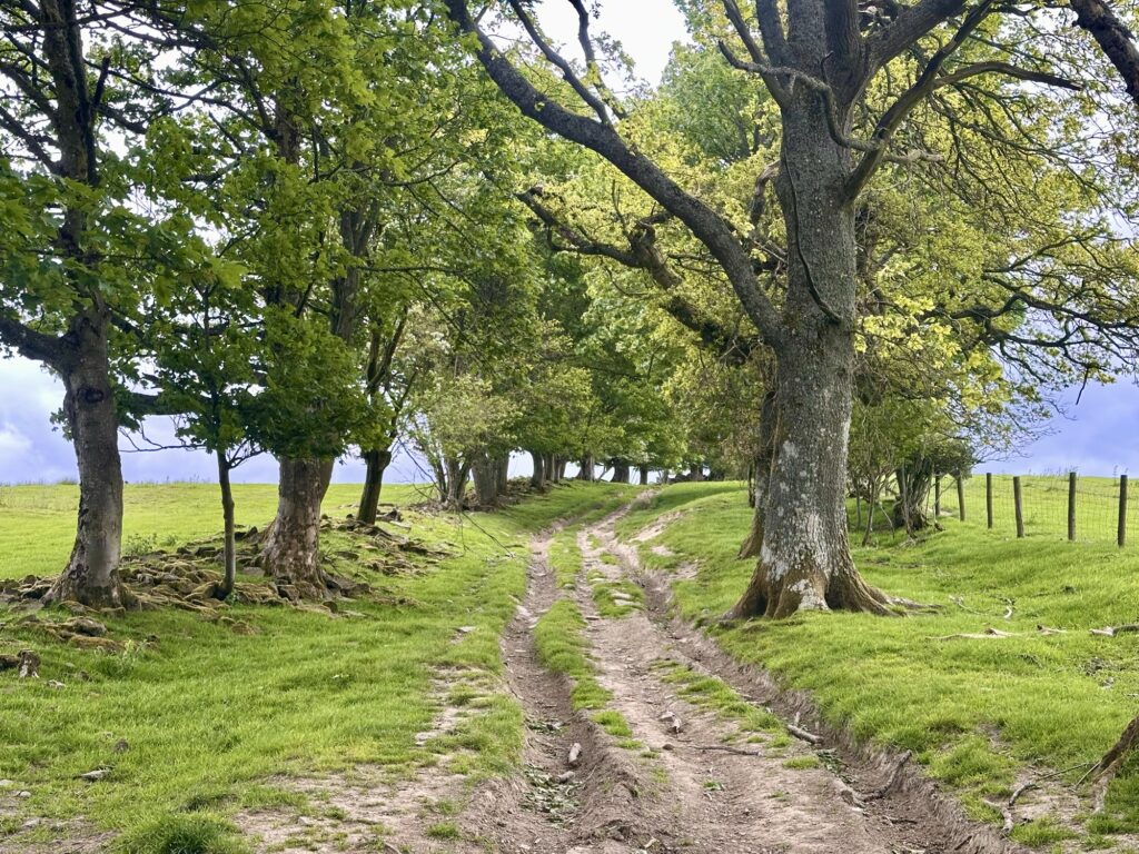
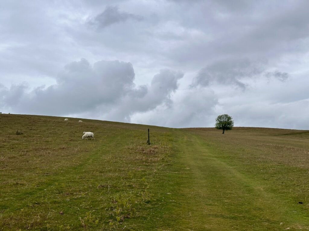
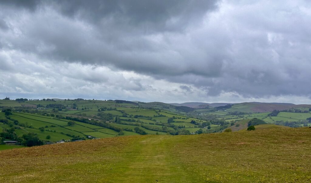
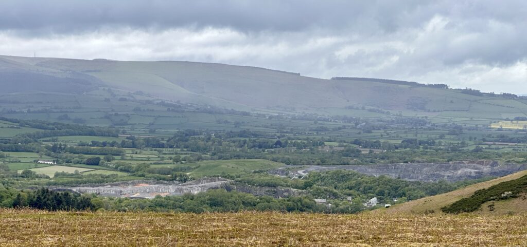
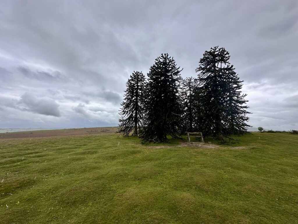
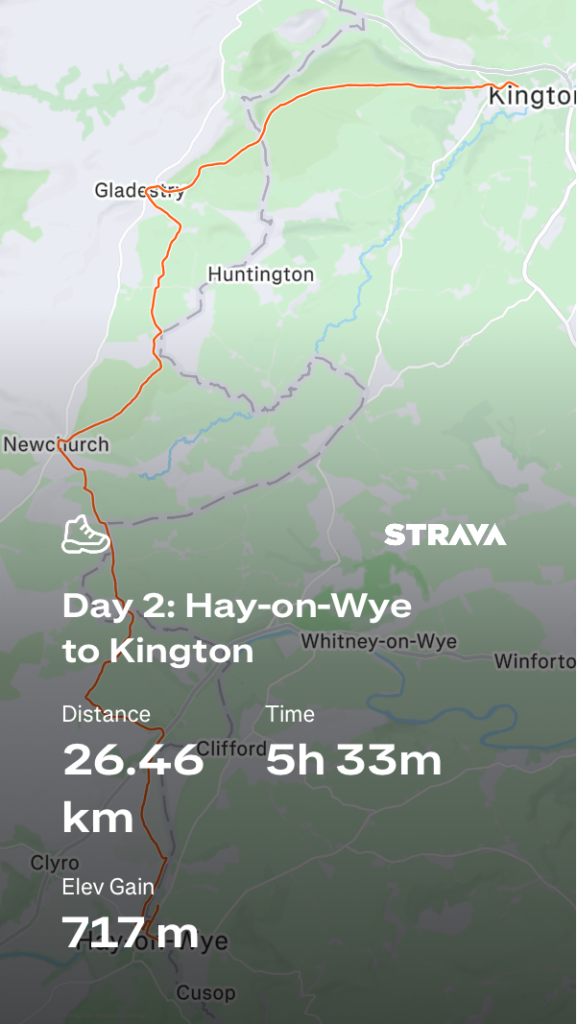
Day 2 on Offa’s Dyke started with a 1km detour to a Co-op to get food, as once again there were no services along the route. We then crossed the River Wye and climbed steadily into the wild and exposed hills of the Welsh borderlands, crossing open moorland with sweeping views across Herefordshire and Mid Wales, passing beneath Hergest Ridge and following ancient tracks through quiet farmland and rolling countryside before descending into the small market town of Kington.
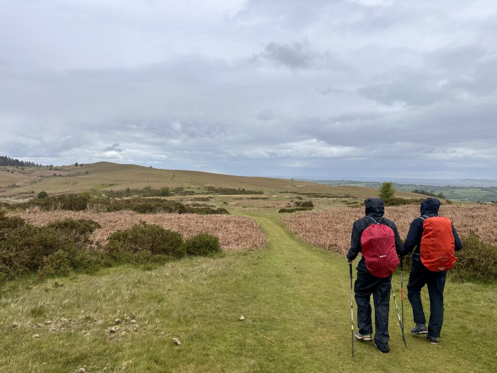
The scenery was stunning but, once again, there were no services along the route. The weather was fine for the first half of the day and definitely warmer than yesterday. At the halfway point, we stopped in Newchurch at the churchyard/graveyard for a rest and lunch. As we departed, it started to rain, so we put our rain gear on and headed along the path. There were two more difficult ascents, made harder by the rain gear. The rain was only light showers and visibility remained good, with excellent views.
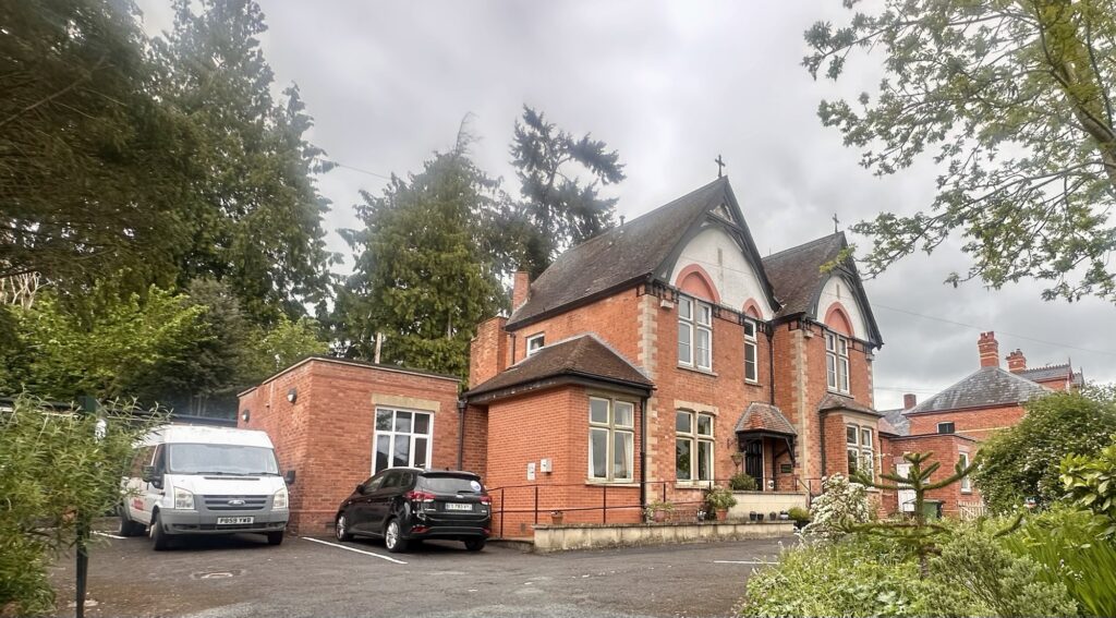
Arriving in Kington, we stopped for coffee and cake just half a kilometre short of our accommodation.
I would say it was an easier day, as the continuously changing landscape made it feel easier than the previous day’s hike.
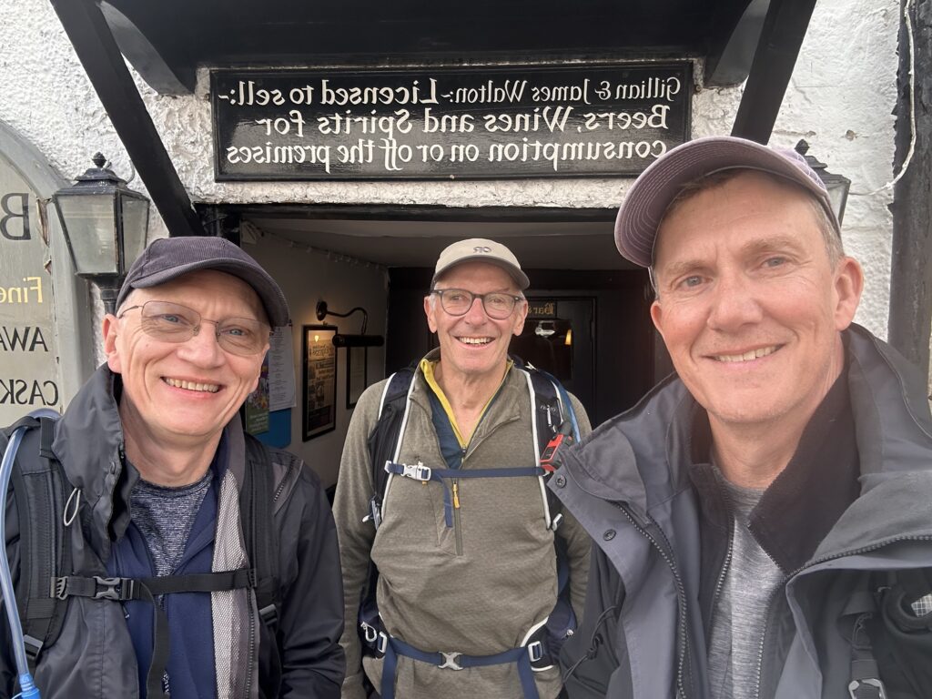
After checking in and showering, we headed for beers and food in Ye Olde Tavern. The menu was amazing and so was the food. I had a fabulous fish pie followed by sticky toffee pudding.
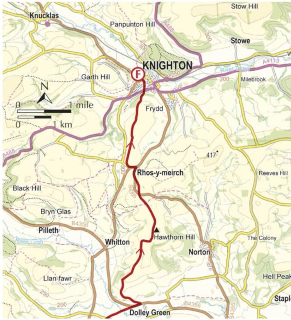
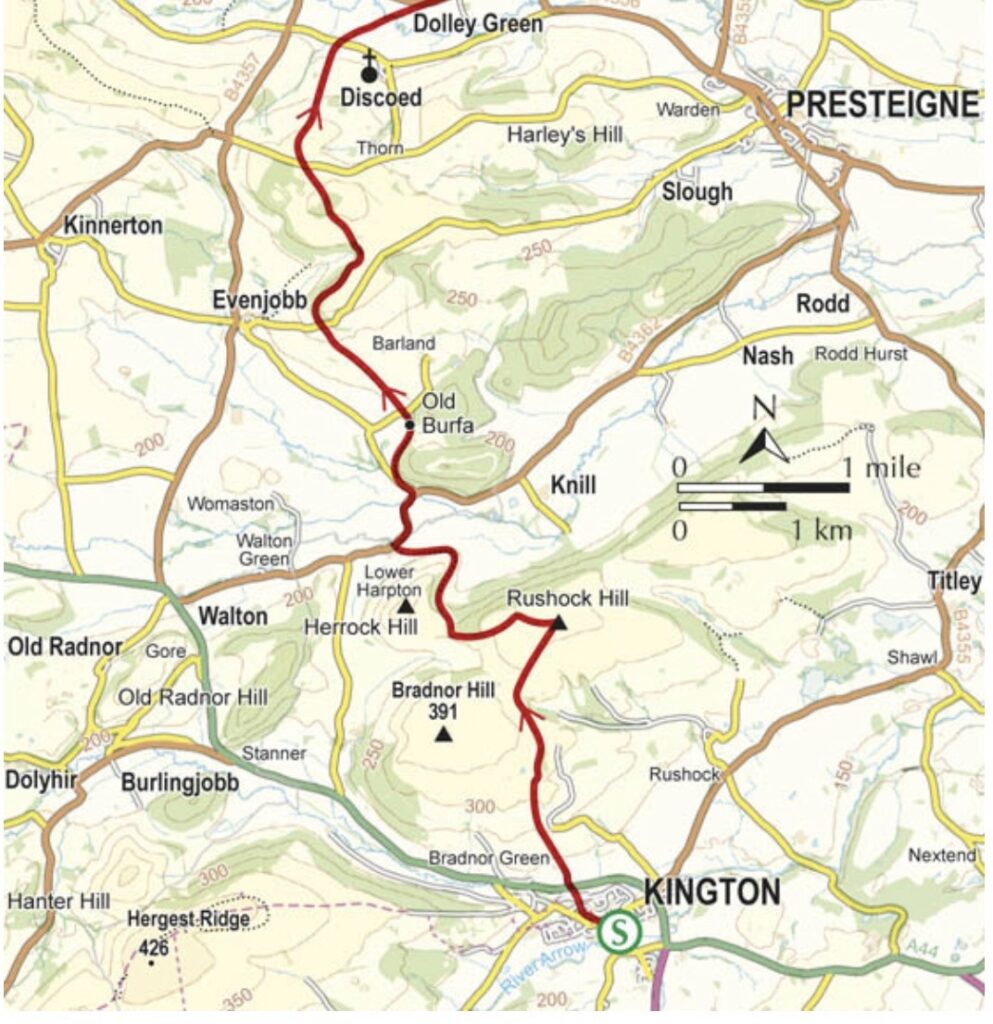
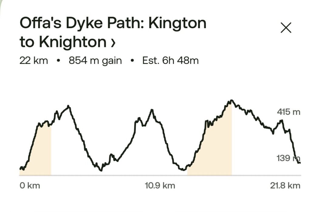
Tomorrow we head to Knighton 22km 850 meters of elevation